Arizona
Tucson
This Jaw-Dropping Mountain Range Takes You to the Highest Point in Tucson
If you’re an outdoor enthusiast and a mountaineer, you’ve probably already visited selected mountains in Arizona. There’s nothing quite like the rush of conquering challenging terrains and seeing the panoramic vistas from the very top. Let us give you a tip. Squeeze in the Santa Catalina Mountains in your jam-packed itinerary and take a hike! It is home to the highest point in Tucson. Isn’t it exciting?
Santa Catalina Mountains: Arizona’s Prized Natural Area
Source: Instagram
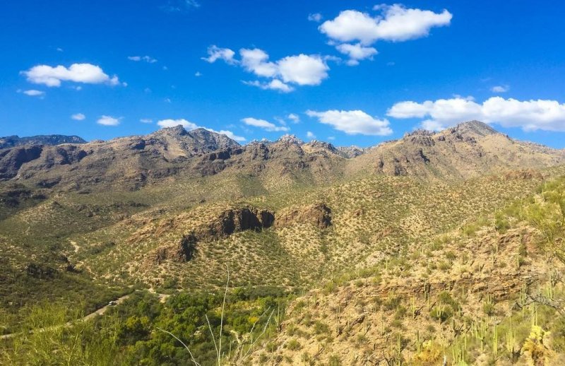
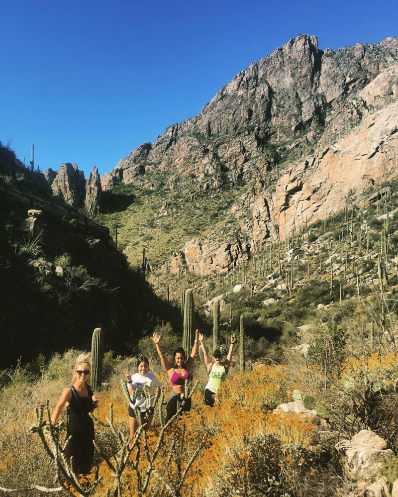
The Santa Catalina Mountains, also simply called the Catalinas, are a mountain range in the Coronado National Forest. It is located northeast of Tucson and is popular for its outstanding scenery and steep rock cliffs and foothills.
It is widely popular in the Tucson area, mostly because it has the highest average elevation with Mt. Lemmon standing at 9,157 feet or 2,791 m. It also has a unique desert vegetation worthy of anyone’s attention. The Santa Catalina Mountains is a “sky island.” Basically, it just means that it has a different climate from the valley and the surrounding desert. Many hikers from Phoenix and Tucson flock to this destination even during the middle of summer. It’s not like the other dangerous mountains in Arizona that pose deadly heat.
You can do a lot of activities in the lowland desert and high pine forest of the Santa Catalina Mountains. This includes:
Source: Instagram
- Hiking
- Biking
- Rock Climbing
- Skiing
- Camping
- Education and Research
These are just some of the possible activities. You can do a whole lot more there!
Where Can You Find the Highest Point of the Santa Catalina Mountains?
The elevation of this mountain range is from 2,724 feet (Sabino Canyon) to 9,157 feet. The highest point is at the top of Mt. Lemmon.
To put things to perspective, the elevation and height of that mountain are like having 9 Eiffel Towers stacked on top of each other. On the other hand, the trip provides scenery that resembles that of a journey from the Mexican to the Canadian border.
The Different Trails
Do you prefer a springtime walk or a strenuous hike? The Santa Catalina Mountains have a lot of trails you can choose from. You just need to determine the trail difficulty and you can head out.
Mt. Lemmon Meadow Loop
Source: Hike Lemmon
Take this loop if you want something easy and chill. This easy, 1.5-mile roundtrip trail will take you through the gorgeous pine trees and the humbling views of Tucson and Oro Valley. There is an active lookout tower for a better viewing experience.
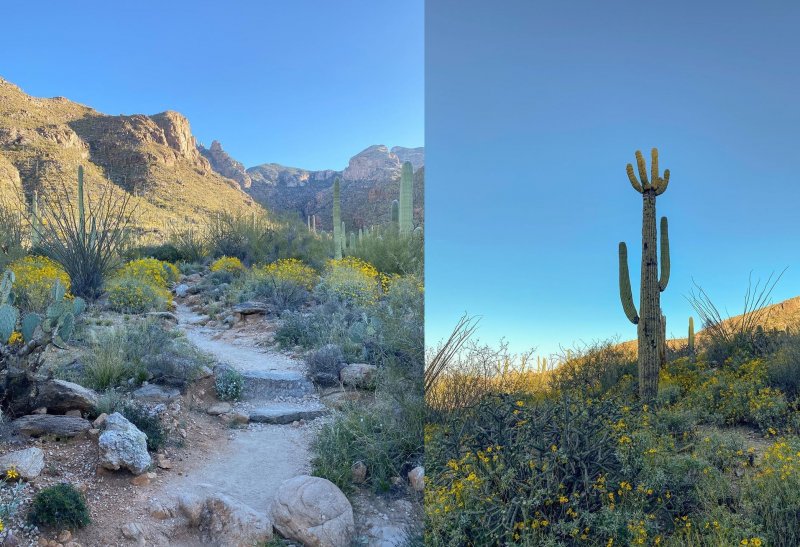
Sabino Canyon Trail
Source: Instagram
Sabino Canyon Trail is one of the more popular trails for beginners. In fact, this one is probably the most visited outdoor site in Tucson. You need to conquer an 8-mile roundtrip trail, but it is fairly easy. Anyone can take this route from the least experienced to the hardcore hikers.
Romero Pools Trail
Source: Instagram
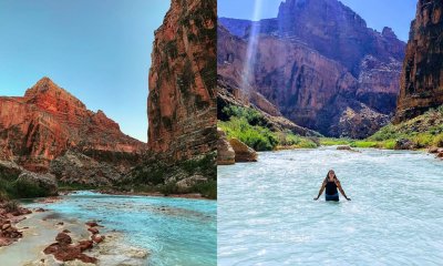
Take something moderate. The Romero Pools Trail is a 5.5-mile hike roundtrip trail that will prove itself worthy with the countless photographic subjects along the way. You can also pack enough food because there is a well-maintained picnic area. You’ll also find a swimming pool with slippery rocks and deep pools.
Blackett’s Ridge Trail
Source: Instagram
Do you want to hike a long sheer-walled ridge that overlooks the Sabino Canyon? Then choose the Blackett’s Ridge Trail. This is rated moderate, but you’ll think this is a pretty intense workout. Anyhow, the great views will make you smile for sure.
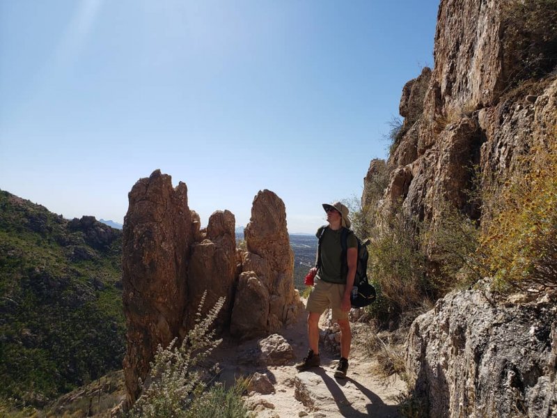
Finger Rock Trail
Source: Instagram
Steep trails attract the more experienced hikers. This one is definitely it. The Finger Rock Trail is a 6-mile roundtrip hike that appears relatively easy at first. But be warned. It progressively gets harder because it is a strenuous hike. You will get an awesome view of the city afterward.
Ventana Canyon Trail
Source: Instagram
Follow the rugged, steep trail up Ventana Canyon as you pace your hike. This is a 6.4-mile hike that begins at Loews Ventana Canyon Resort and will take you to the spectacular rock arch at the top of a peak.
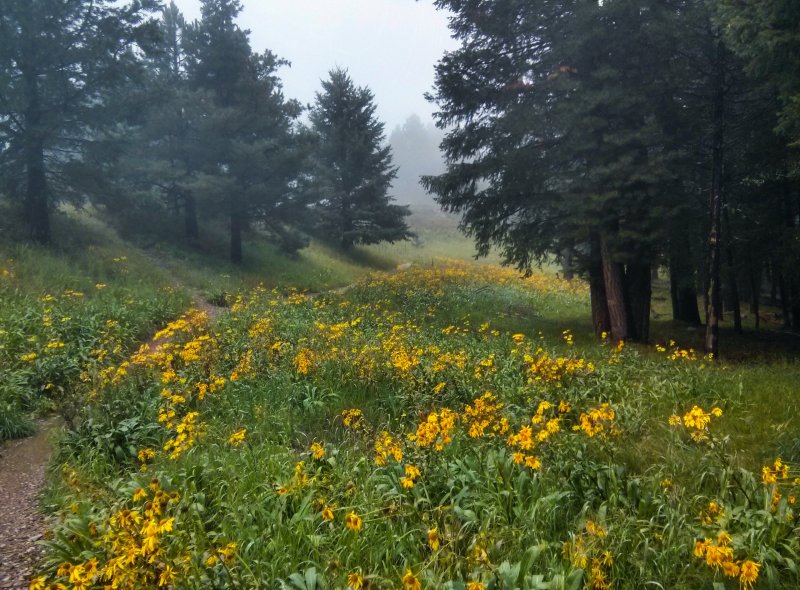
Stay on top of Mount Lemmon
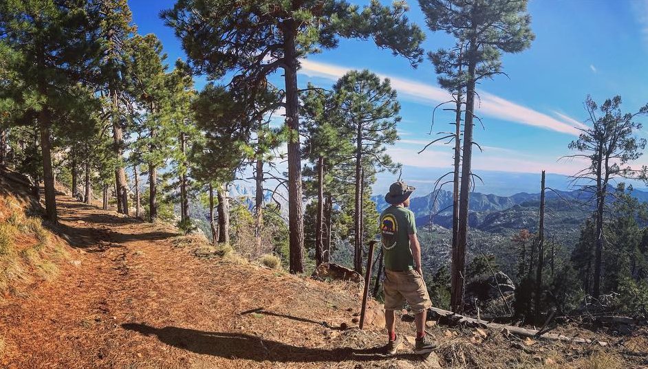
Source: Instagram
Reach the highest point of Tucson by taking on the Mount Lemmon Trail. It is a 15.3 kilometer lightly trafficked trail that will provide beautiful carpets of wildflowers. It is best used from April until October and is a dog-friendly hike.
What should you expect?
- It’s not too tough going down. Climbing up is another thing. It’s difficult because of the altitude gain. Expect to huff and puff a lot of times.
- Get the advice of local hiking groups before the climb. You may also purchase a map or hiking guide for reference.
- For areas that need hiking permits, you can just obtain it from the Coronado National Forest.
- There is a small town called Summerhaven in the Santa Catalina Mountains. Drop by if you want to visit the astronomical observatory.
- Make sure to check the weather before going.
- There are some restrictions on the usage of several recreation areas on Mt. Lemmon. Some are seasonal and weather dependent. To be completely sure, remember to check in with the Ranger District and call them at 520-749-8700 before traveling.
- Check out the website for more details: https://www.fs.usda.gov/recarea/coronado/recreation/recarea/?recid=25602&actid=29

Here are 23 Slang Terms You’ll Only Understand if you’re from Texas

Here are 19 Slang Terms You’ll Only Understand if you’re from Alaska

Here are 28 Slang Terms You’ll Only Understand if you’re from Arizona

12 Reasons Why Californians are moving to Arizona

10 Reasons Why You Should Never Ever Consider Moving to Louisiana

Check Out This Salt Cave in New Mexico That is Said to Melt All Your Stresses Away

10 Photos Only People from Arizona Will Understand

Luke Days Airshow is Back This Weekend! Here’s What You Should Know

Here are the 10 Best Mexican Restaurants in New Mexico – Awesome Margaritas Included